Location
Queens, NYCategories
Research and PlanningParks and Infrastructure
Background
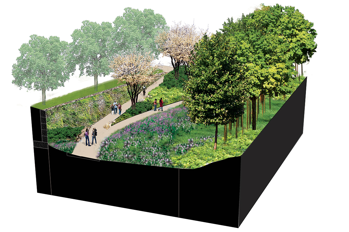
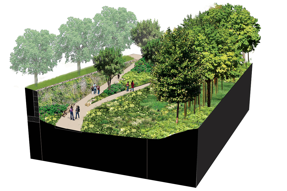
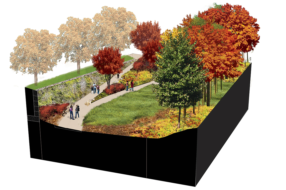
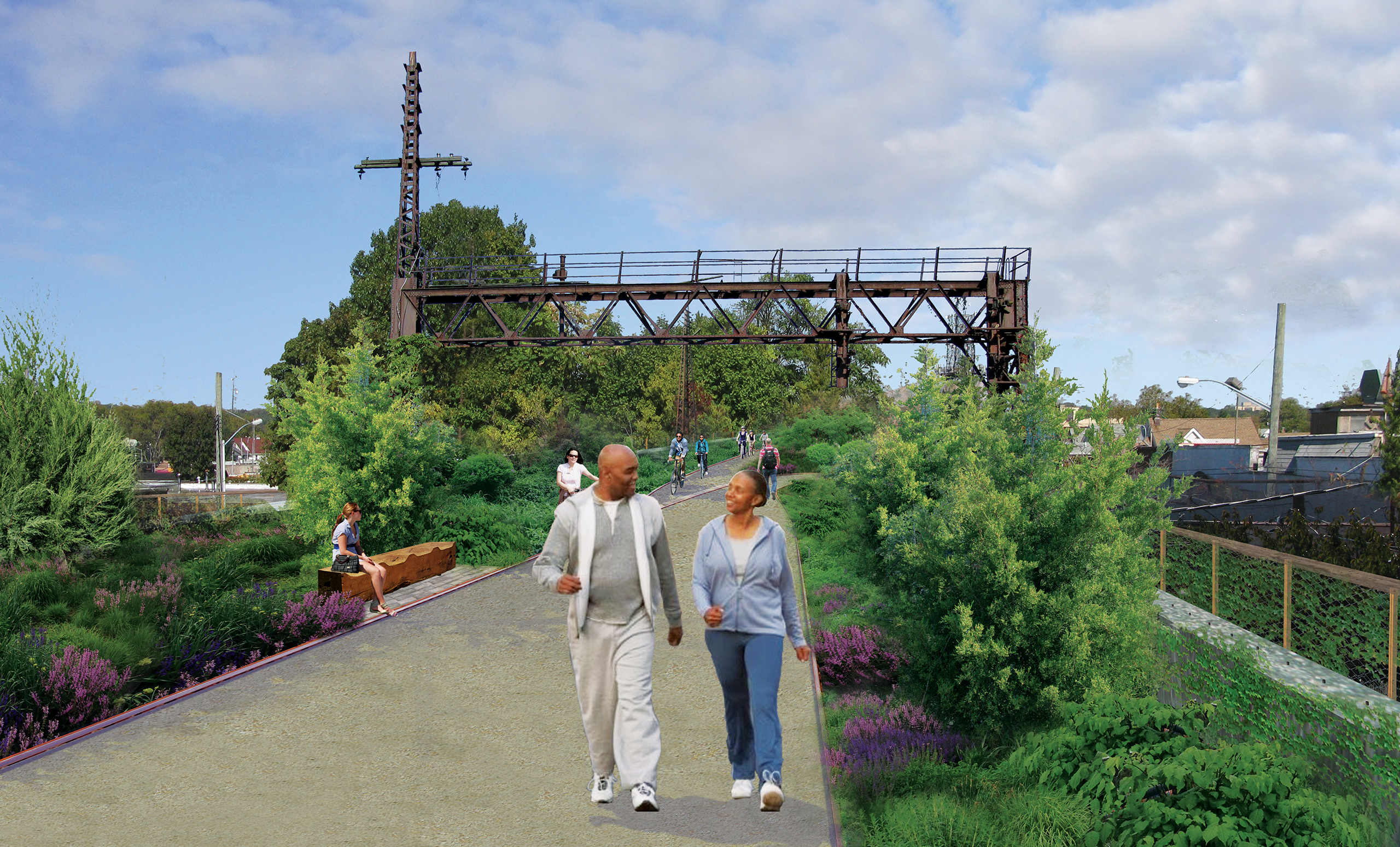
The QueensWay Feasibility Study examines the conversion
of a former Long Island Rail Road transportation corridor into public open
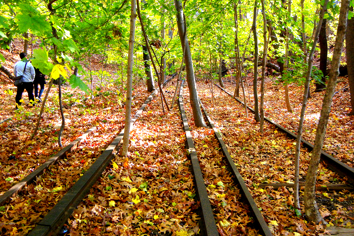
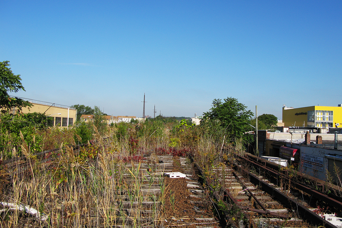
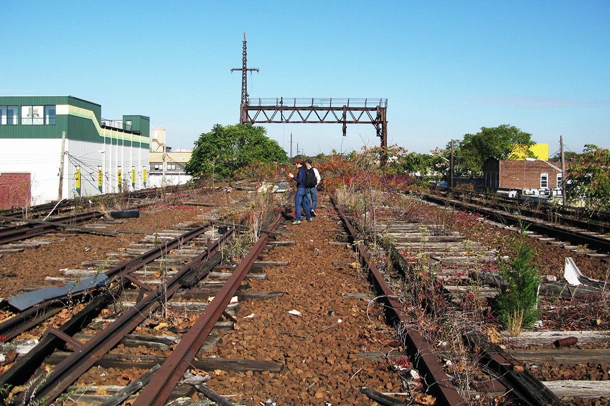
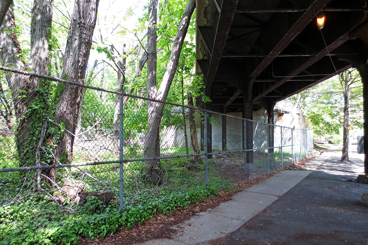
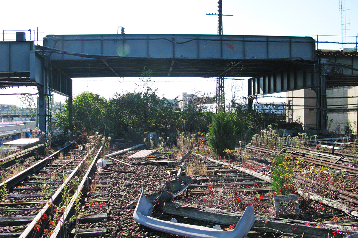
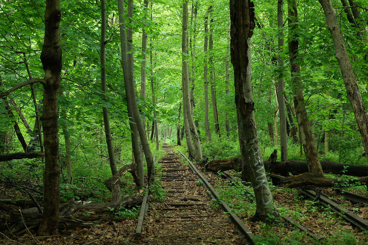
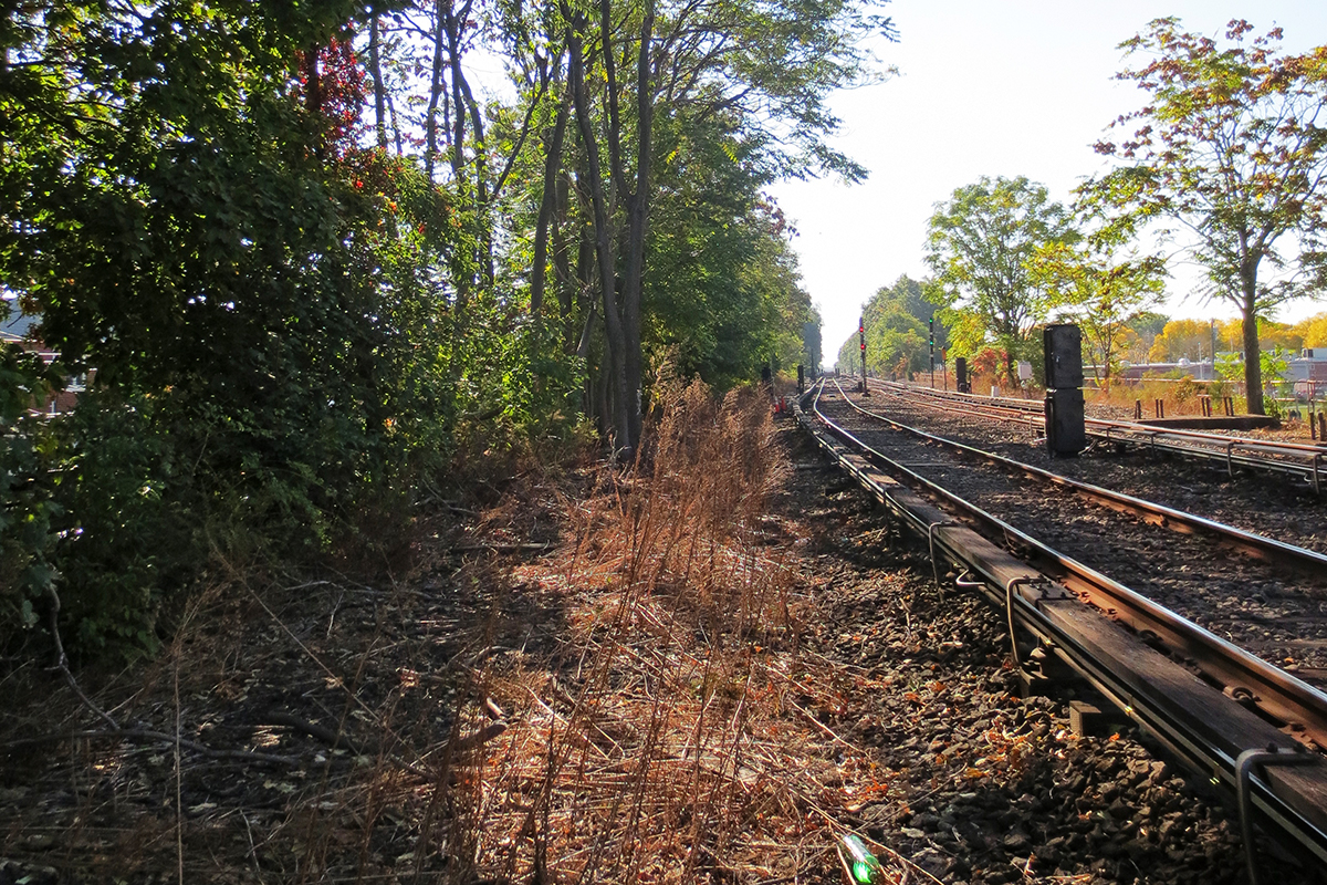
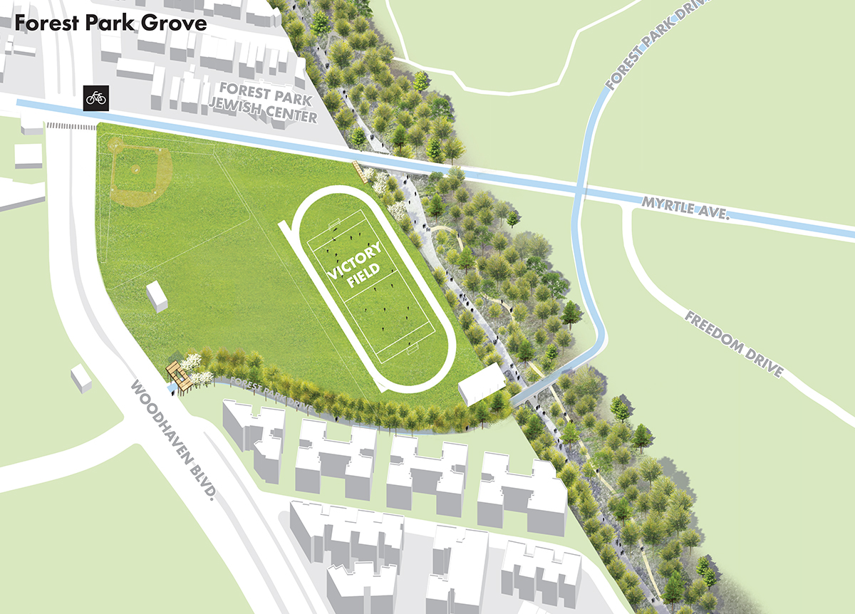
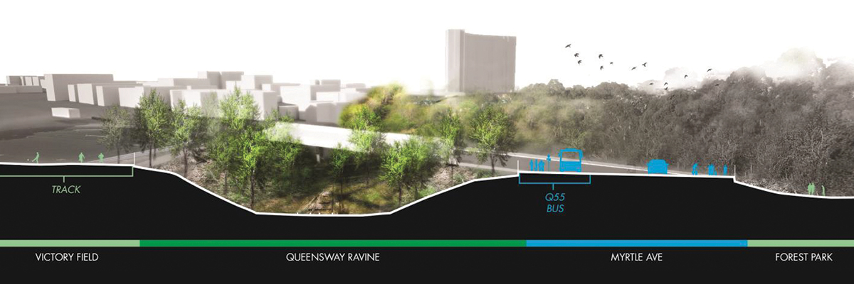
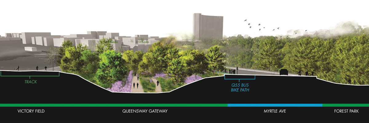
space. Along its 3.5 mile length, the QueensWay transforms from elevated
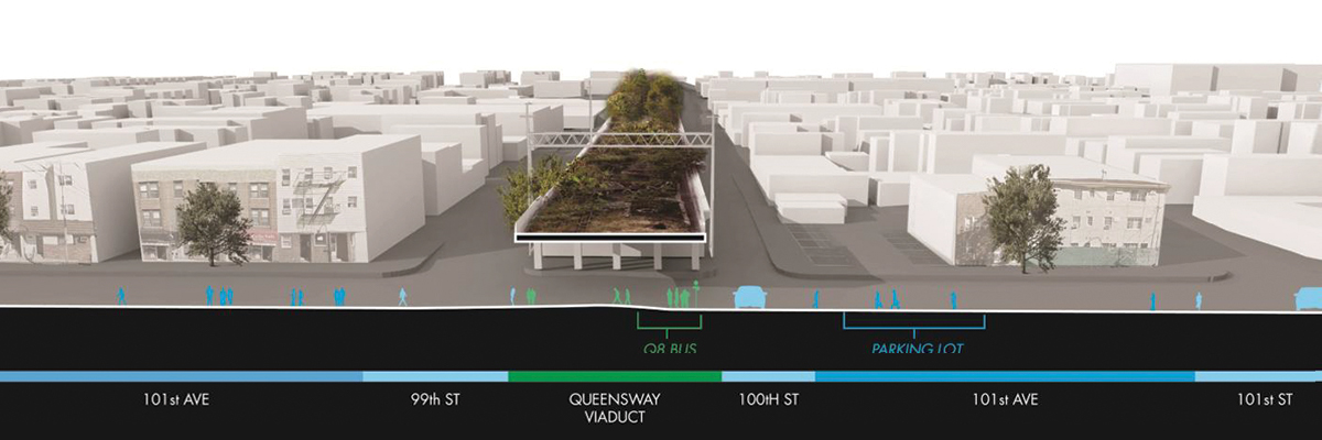
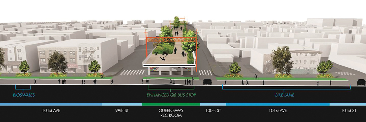
embankment to ravine to elevated viaduct. The adjacencies along the QueensWay
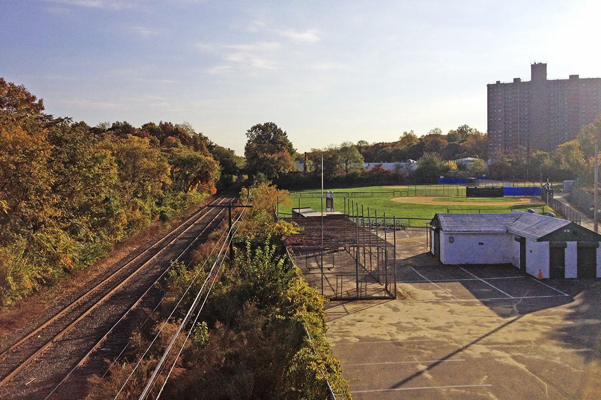
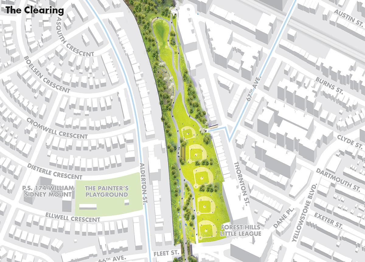
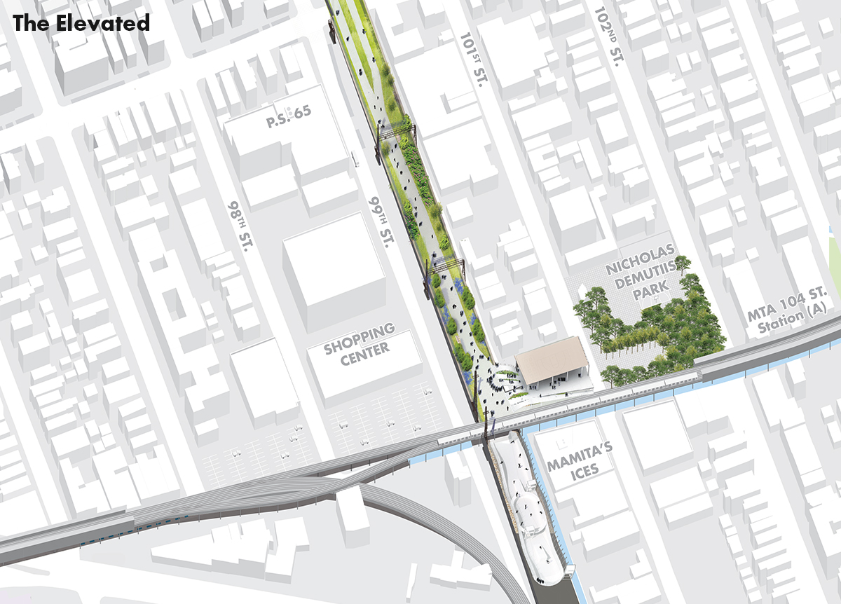
also shift. Little League fields abut the site along the Northernmost end. The
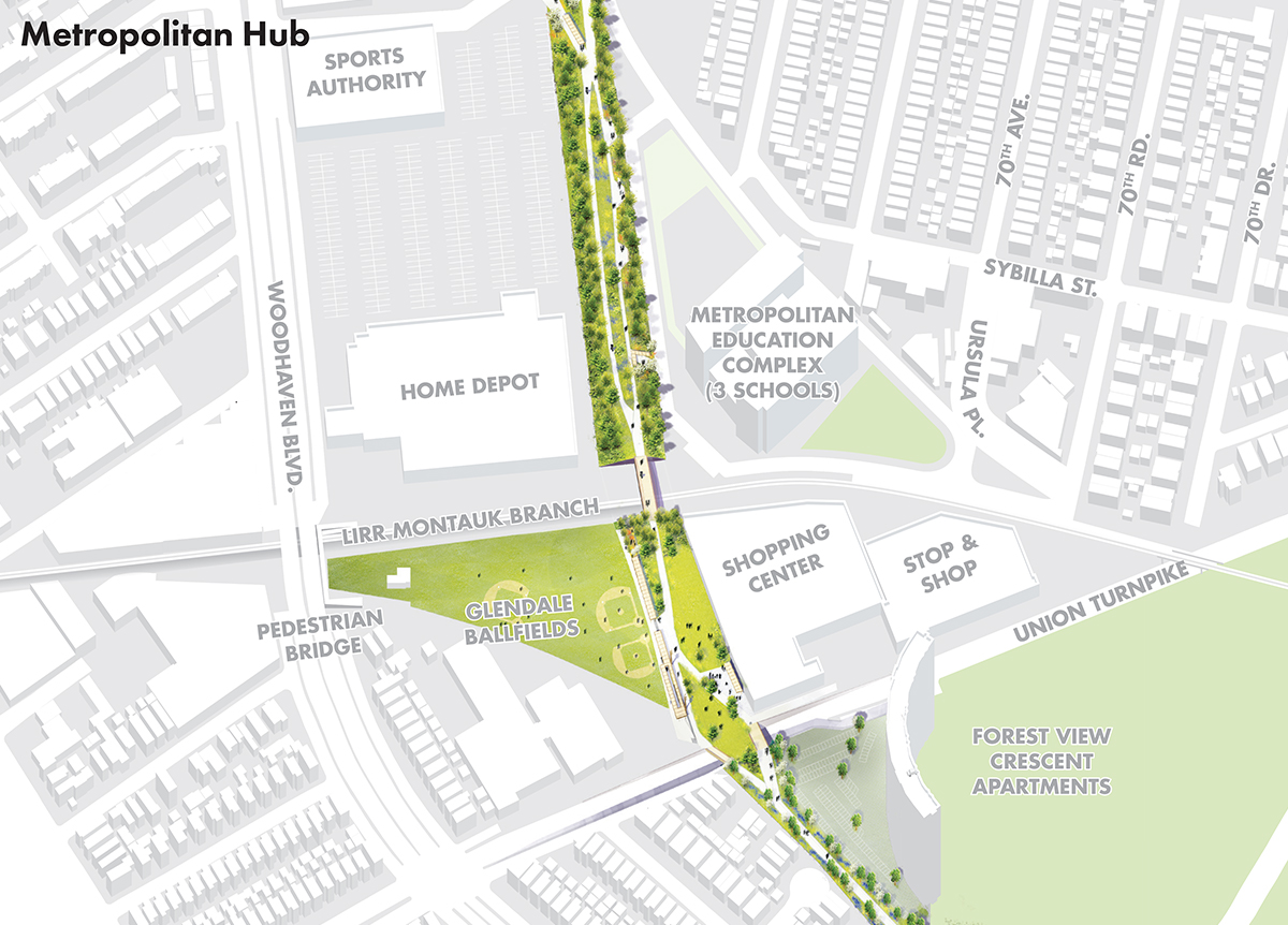
site crosses through big box stores, subway lines, commercial corridors and
residential neighborhoods. Forest Park, parking lots, and school bus storage
camouflage the site. Large roadways act as barriers, limiting access to Forest
Park.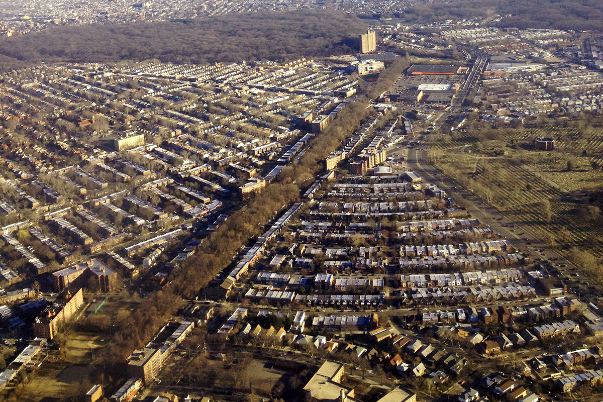
The
potential of the QueensWay will be defined not only by the vibrant communities
alongside it, but also by the QueensWay vision’s ability to work with and
explore the former railway line’s physical structure. The history of land
development in Queens is largely defined by the numerous rail lines that
criss-crossed the open tracts of land in the late 19th century and early 20th
century.
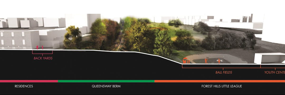
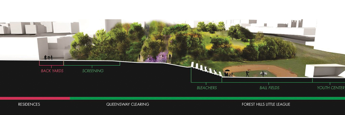
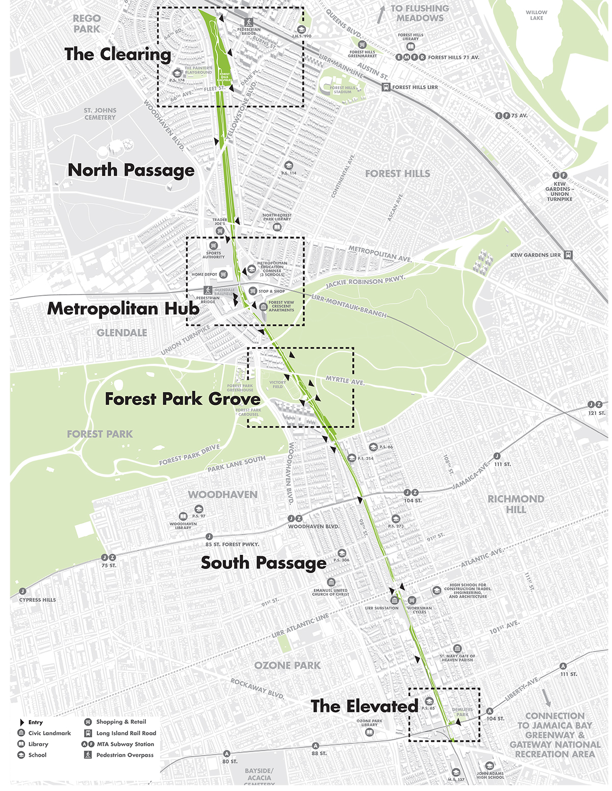
Broadly speaking, the three main segments of the QueensWay – northern, central and southern – each have their own physical character which shapes the relationship to the surrounding communities in terms of vistas and enclosure, natural and urban experiences along the route. As a result, the issues related to safety, security and privacy of adjacent properties are directly tied to how the former railway line moves through the landscape.